
Dam Breach Inundation Analysis Using HEC-RAS and GIS: Two Case Studies in BC

Project Highlights
Canadian Dam Association 2015 AGM and Conference
Hypothetical dam breach scenarios of the Pinaus Lake Dam near Vernon, BC and Cold Spring Creek Dam in Fairmont, BC were analyzed using the HEC-RAS software in conjunction with a Geographic Information System (GIS). The overall objective was to estimate the dam-break outflow hydrograph, route the dam-break hydrograph through the downstream valley and floodplain, and estimate the inundation levels, resulting damages to downstream communities and structures, and potential loss of life in order to classify the dams.
The dam breach simulations were challenging due to available topographic data resolution, accuracy of extreme flood estimates, channel slope, and the attenuation caused by water bodies downstream of the subject dams. This paper discusses some of the commonly used techniques, assumptions and important lessons learned during the modelling exercise. Several dam breach simulation results will be also presented in this paper.
To view, click the link in the Project Resources above.
Related Projects
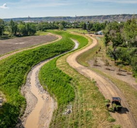
North Drumheller Flood Improvements Project
River & Open Channel Engineerings

Calgary Riparian Monitoring Program
Water Resources

Britannia Creek Debris Flood Mitigation
Water Resources

Inglewood Bird Sanctuary Reconnection Project
Water Resources
North Drumheller Flood Improvements Project
River & Open Channel Engineerings
Calgary Riparian Monitoring Program
Water Resources
Britannia Creek Debris Flood Mitigation
Water Resources
Inglewood Bird Sanctuary Reconnection Project
Water Resources